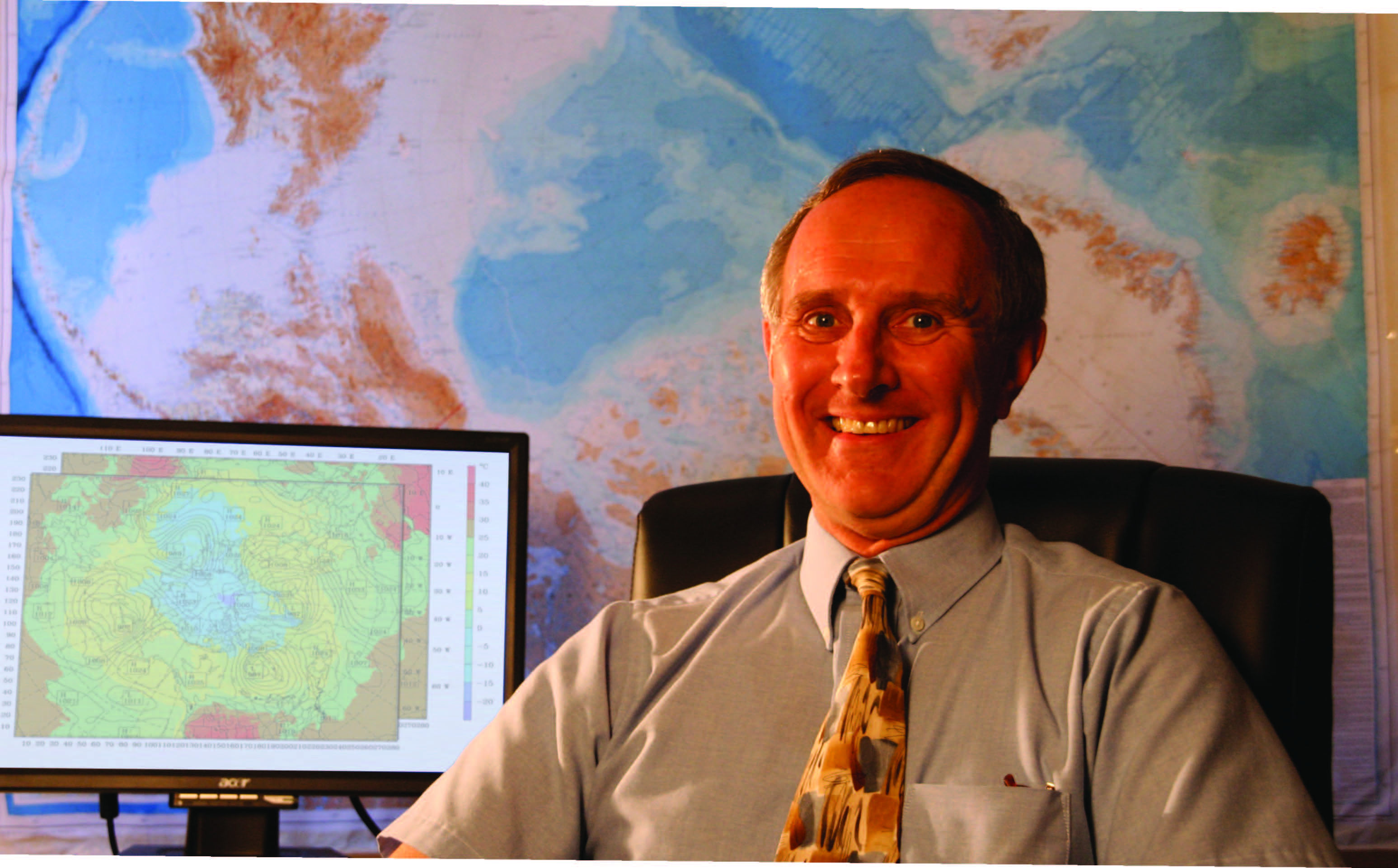
To “reanalyze” eleven years of the Arctic climate, Ohio State meteorologist David Bromwich has employed thousands of nodes on the Ohio Supercomputer Center’s Glenn Cluster to synthesize detailed weather data for an area of nearly 29-million square miles
David Bromwich, Ph.D., and his research team are leveraging the computing and storage resources of the Ohio Supercomputer Center (OSC) to synthesize historical weather data from a region of nearly 29-million square miles – everything north of Minneapolis, Minn.; Turin, Italy; and the Black Sea. The team is integrating multiple enormous databases containing eleven years of satellite readings and direct observations of the Arctic atmosphere/sea-ice/ land-surface system. The time period corresponds to the 1999 launch of the NASA spacecraft named Terra, a polar-orbiting climate research satellite.
“The Arctic System Reanalysis (ASR), which can be viewed as a blend of modeling and observations, is ingesting historical data streams along with measurements of the physical components of the Arctic Observing Network developed as part of the global scientific project known as the International Polar Year,” explained Bromwich.
Bromwich’s group produced a prototype 16-month coarse-resolution version of the ASR this summer. When the full ASR is completed, the team will provide a high-resolution description of the high-latitude expanse in dimensions of altitude (71 layers), space (every 10 kilometers) and time (every three hours).
“With the introduction of space-borne measurements over the last few decades, researchers have been inundated with vast amounts of information,” Reanalyzing the climate of the entire Arctic system above: To “reanalyze” eleven years of the Arctic climate, Ohio State meteorologist David Bromwich has employed thousands of nodes on the Ohio Supercomputer Center’s Glenn Cluster to synthesize detailed weather data for an area of nearly 29-million square miles. Bromwich noted. “Today, the trick is to figure out how to effectively use all the diverse information sources.”
To generate the complex visualizations, the ASR group has processed the information using more than 1,000 cores of OSC’s IBM Cluster 1350 over the last several months. The data accumulated for and generated by the model eventually will fill hundreds of terabytes of disk space on the center’s IBM Mass Storage System.
“I think the model is giving very reasonable results,” said Lesheng Bai, a research associate at the Byrd Polar Research Center. “We’ve had to resolve issues with the model physics, because some of the data types have special circumstances. But, the model is running well at the coarse-resolution stage.”
OSC staff members installed on the Glenn Cluster and tested the Weather Research and Forecasting (WRF) model, a state-of-the-art numerical weather prediction and data assimilation system developed by the National Center for Atmospheric Research, the National Oceanic and Atmospheric Administration and other organizations. The Polar WRF version of the system was installed once the ASR group enhanced the program with parameters developed from data from Greenland, the Arctic Ocean and Alaska.
“The ASR is ingesting and generating about five terabytes of output per year,” Bromwich said. “We will maintain the secure archive of all reanalysis data at OSC and develop web-based tools for access and analysis by the wider scientific community.”
Over the final year of the four-year project, Bromwich and his team will work to complete the high-resolution version of the ASR. He hopes the detailed information generated by the study contributes to a betterunderstanding of climate shifts in the environmentally sensitive Arctic.
“The Arctic is in the midst of rapid change,” Bromwich noted. “There have been pronounced increases in surface air temperature, especially for winter and spring over subarctic land areas, as well as over the Arctic Ocean. It’s extremely important that we better understand what’s happening there in order to predict the future more accurately. Through data assimilation, the ASR will serve as a state-of-the-art synthesis tool for assessing Arctic climate variability and monitoring Arctic change.”
Once the initial project is completed, Bromwich sees the potential for collecting and integrating additional data into the ASR, possibly from as far back as 1957. That year signaled the beginning of a global scientific project known as the International Geophysical Year and saw the Soviet Union launch the world’s first satellite, “Sputnik.”
--
Project lead: David H. Bromwich, The Ohio State University
Research title: Arctic system reanalysis
Funding source: National Science Foundation
